|
|
Personal Weather Station Measurements
GW2624 TesuqueVillage, New Mexico
LAST READING AT TIME: 05:20 AM, 9/17/2026
TIME OF NEXT UPDATE: 5:25 am |

|
Current
Conditions |
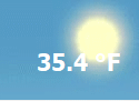
Stopped raining Night Feels Like 58.7°F |
 |
| Temperature & Humidity |
| |
|
|
| 58.7°F |
58.7°F |
65.4°F |
|
85 % |
73 |
85 |
| 5:19 AM |
1:19 AM |
1:37 AM |
5:19 AM |
| 58.6 |
- |
- |
|
54.2°F |
54.0 °F |
58.1 °F |
| 58.7 |
Heat Index |
58.8°F |
12:27 AM |
5:17 AM |
| Humidex |
63.1°F |
| Wind Chill |
58.7°F |
| 58.6 |
58.5 |
66.9 |
| 5:00 AM |
1:45 AM |
| 59.0 F |
59.0 F |
66.0 F |
| Wind & Barometer |
| |
|
|
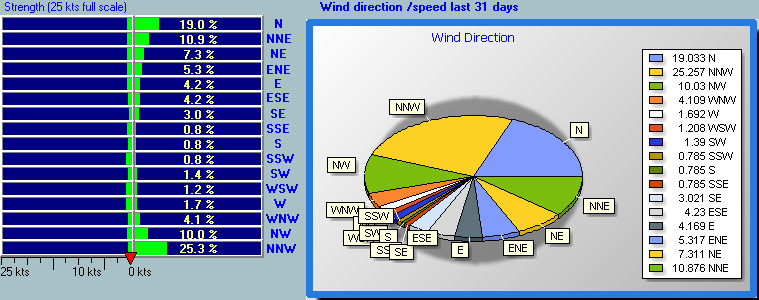
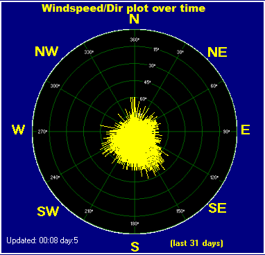
1.0 mph North |
18.4 mph SSE at 2:36 AM |
|
30.048 in. |
29.977 in. |
30.054 in. |
| 1:51 AM |
4:52 AM |
| 2.7 mph N |
|
Steady +0.008in./hr |
| |
Rising +0.065 in. |
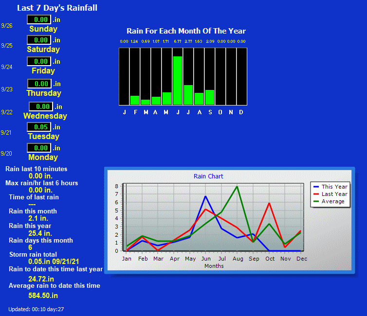
| Rain |
| |
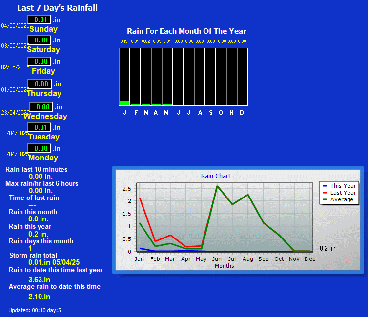
| 0.12 in. |
|
9/17/2026 |
| 0.11 in. |
|
0.24 in. |
| 0.108 in/hr |
|
1.12 in. |
| 0.818 in/hr at 4:25 AM |
|
2.96 in. |
| Solar Radiation & Ultraviolent Index |
| |
|
|
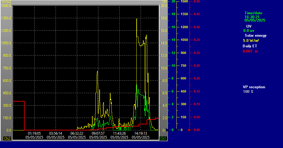
| Night time/Stopped raining/overcast - |
|
720 minutes |
| 0.01 inches |
|
00:00 hours |
| |
|
UV Solar Scale |
 |
| 59.0 F |
59.0 F |
66.0 F |
|
| 0 W/M2 |
0 W/M2 |
0 W/M2 |
|
0.0 |
0.0 |
0.0 |
| 12:00 AM |
12:00 AM |
12:00 AM |
12:00 AM |
| Indoor Temperature & Humidity |
| |
|
|
| 74.0°F |
74.0 |
76.8 |
|
47% |
45 |
48 |
| 4:48 AM |
12:00 AM |
1:05 AM |
3:28 AM |
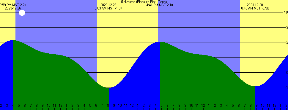
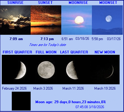
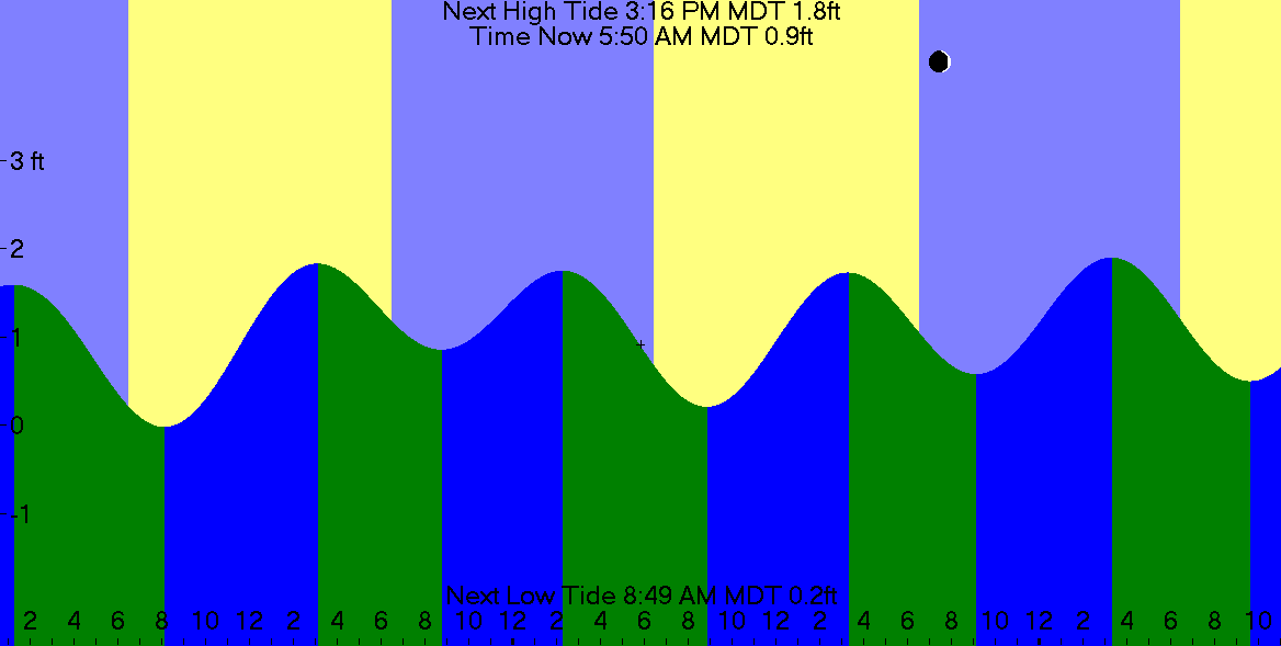
| Sun & Moon in Santa Fe, NM & Tides at Galveston, Texas |
 |
 |
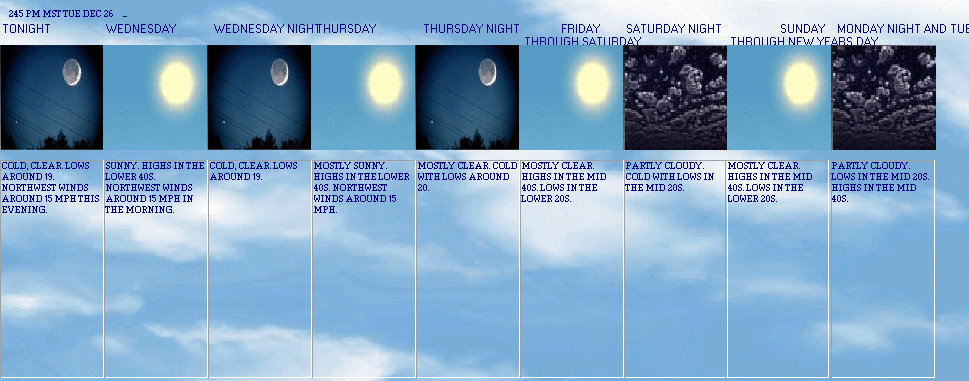
| 5 Day Forecast Santa Fe Metro Area, NM Forecast (NOAA Zone NMZ218) |
1232 AM MDT THU SEP 17 |
INCLUDING . . . THE CITY OF SANTA FE |
| Current Advisories: |
Flood Watch |
 |
 |
 |
 |
 |
 |
 |
 |
| Today Cloudy with showers with isolated thunderstorms. near steady temperature in the lower 60s. chance of rain 90 percent. |
Thursday Mostly cloudy. scattered showers with isolated thunderstorms in the morning, then numerous showers and scattered thunderstorms in the afternoon. some thunderstorms may produce heavy rainfall in the afternoon. highs in the upper 70s. southeast winds around 15 mph, becoming south in the afternoon. chance of rain 70 percent. |
Thursday night Mostly cloudy. showers and scattered thunderstorms in the evening, then numerous showers with isolated thunderstorms after midnight. some thunderstorms may produce heavy rainfall in the evening. lows in the mid 50s. southeast winds around 15 mph in the evening. chance of rain 80 percent. |
Friday Patchy fog in the morning. mostly cloudy with scattered showers. scattered thunderstorms in the afternoon. highs in the upper 70s. chance of rain 50 percent. |
Friday night Partly cloudy. isolated showers and thunderstorms in the evening. lows in the lower 50s. chance of rain 20 percent. |
Saturday Partly cloudy. isolated showers and thunderstorms in the afternoon. highs in the upper 70s. chance of rain 20 percent. |
Saturday night Partly cloudy with scattered showers with isolated thunderstorms in the evening, then mostly clear after midnight. lows in the lower 50s. chance of rain 40 percent. |
Sunday and sunday night Mostly clear. highs in the upper 70s. lows around 50. |
| Detailed Advisory Info.: |
NMZ218
Current watches, warnings, and advisories for Santa Fe Metro Area (NMZ218) NM
Flood Watch issued September 17 at 2:24AM MDT until September 18 at 3:00AM MDT by NWS Albuquerque NM
* WHAT...
Flash flooding caused by excessive rainfall is possible.* WHERE...
A portion of north central New Mexico, including the Sangrede Cristo Mountains, Tusas Mountains,
Jemez Mountains, and SantaFe.* WHEN...
From 11 AM MDT this morning through late tonight.* IMPACTS...
Excessive runoff may result in flooding of rivers,creeks, streams, and other low-lying and flood-prone
locations.* ADDITIONAL DETAILS...
- Additional rounds of showers and storms are likely Thursdayafternoon through the overnight hours.
Rainfall rates of 1 to 2inches per hour may occur with storms during the
afternoon andevening, with lighter rainfall overnight. Wildfire burn scars,urban areas, communities with underdeveloped infrastructure,complex
terrain, and areas where the ground is already saturatedwill be favored for rapid runoff
and flash flooding.- http://www.weather.gov/safety/flood
Flood Watch
**************** |
|
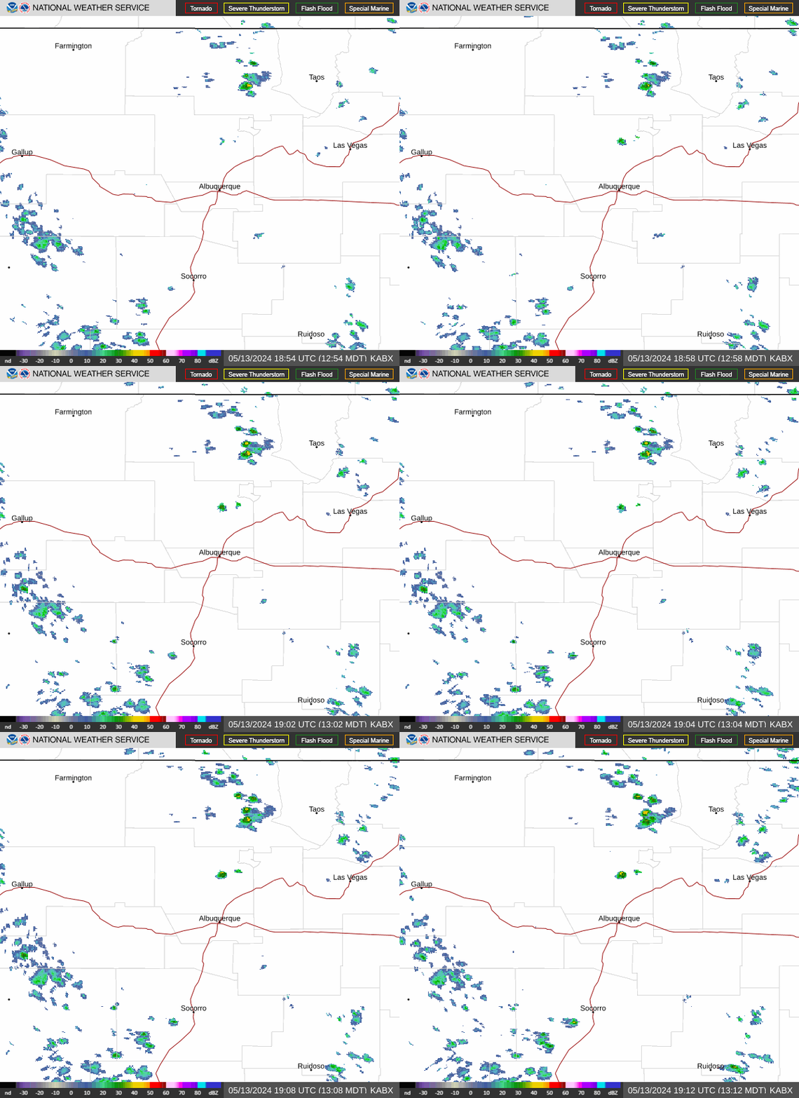
National Weather Service Proposed Radar, Southeast Texas
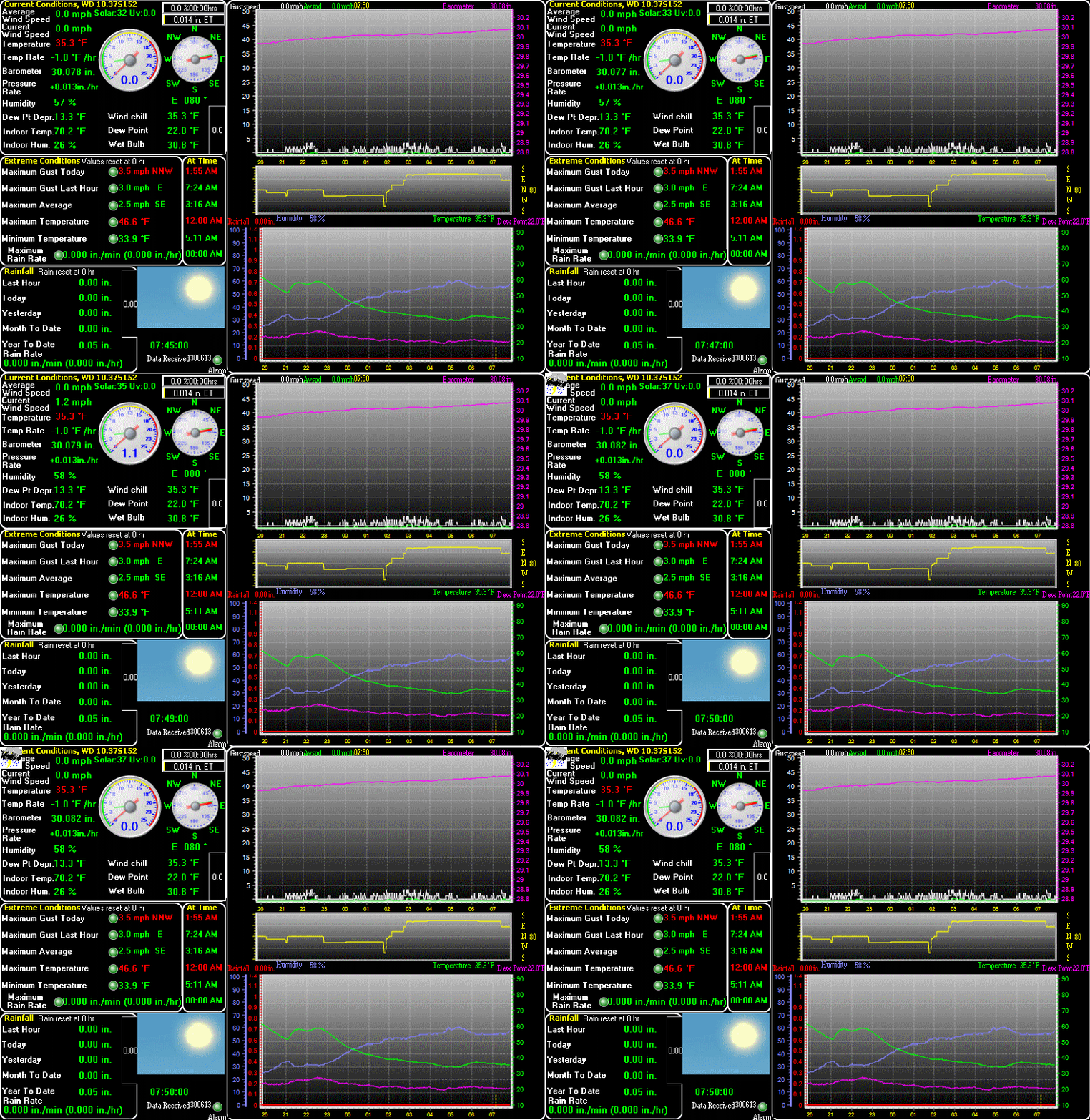
| Graphical Data from Weather Station GW2624, Santa Fe, NM |
 |
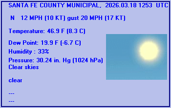
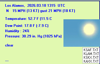
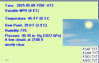
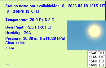
| Current Weather at METAR Stations & Local Airports |
| Santa Fe Municipal Airport (KSAF), Santa Fe, New Mexico |
Los Alamos Airport (KLAM), New Mexico |
 |
 |
| Taos Municipal Airport (KSKX), Taos, New Mexico |
Angel Fire Airport (KAXX) Angel Fire, New Mexico Elev. 8,900 ft. |
 |
 |
This Weather Page was created using Weather Display v10.37S software
Summary
Local Weather Summary GIF
Conditions Colour
Rain Detail
Wind Direction and Speed, Last 31 Days
Wind Direction vs. Speed Plot, Month-to-Date
UV and Solar Radiation Details, Today
Tide Graph
Local Tide Predictions
Gizmo
Forecast Icon, from Weather Station
Forecast Icon, Metar
Forecast Icon
5 Day Forecast
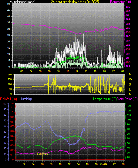
Graph, Yesterday
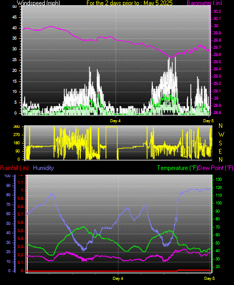
Graph, Last 48 Hours
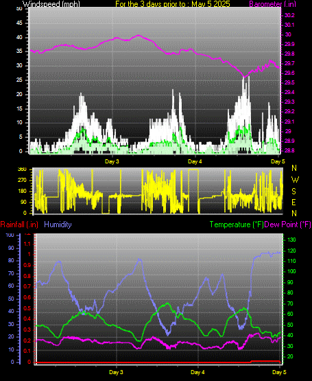
Graph, Last 72 Hours
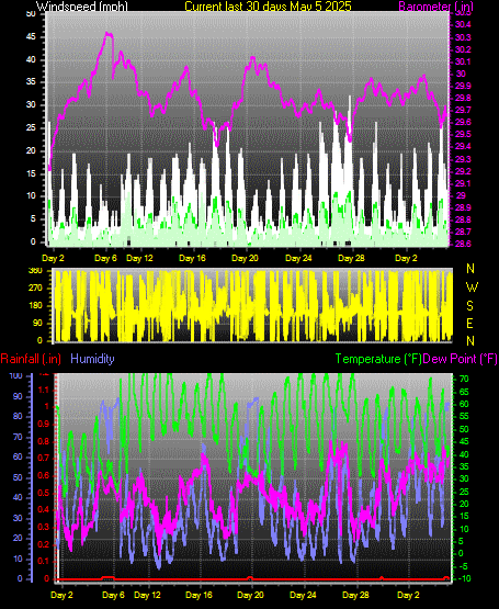
Graph, Month-to-Date
Averages\Extremes for the month
New Mexico APRSWXNET/CWOP Station Information Page
This page was last modified on
Thursday, 17-Sep-2026 06:20:16 CDT
|